
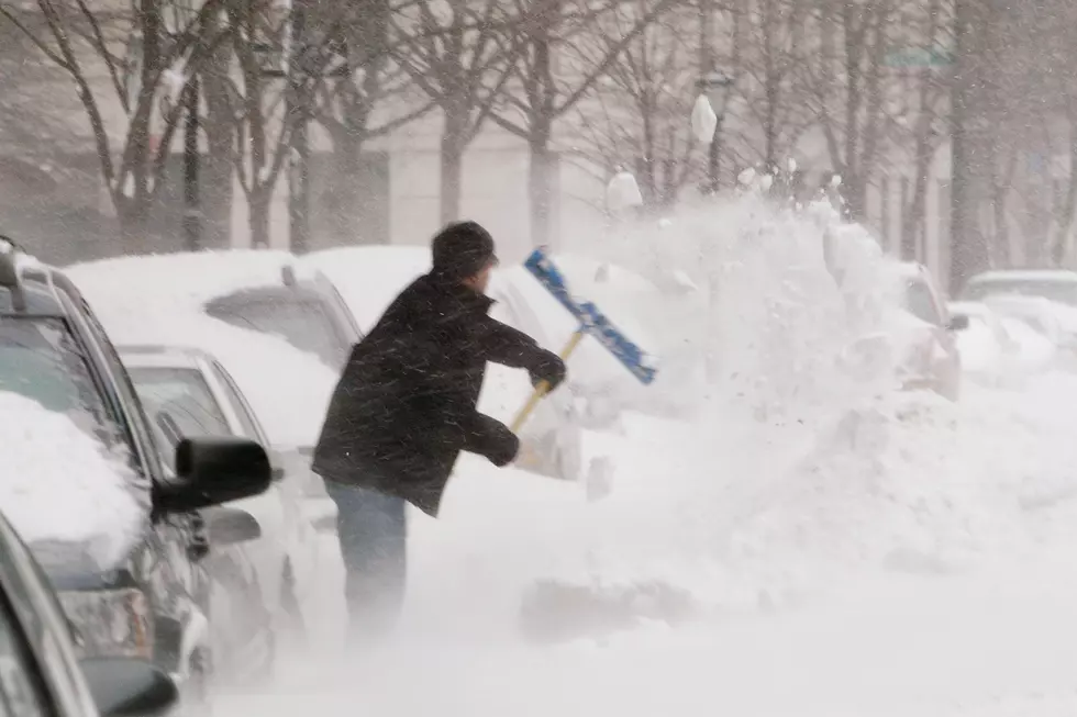
Winter Weather Moves In To The Panhandle So Get Toilet Paper
Winter weather is about to invade West Texas over the weekend, a tell-tale sign is the white lines of brine that TexDot and the city applies to highways and roads.

Here is what KVII ABC 7 says:
The main story though arrives this weekend with our winter weather system. Snow is looking very likely at this point but the highest totals still are yet to be pinned down. Higher totals of 2 to 4 inches are expected across the Southwestern half of the viewing area for right now while lighter accumulations less than 2 inches can be expected further to the Northeast. There may be isolated areas that see heavy snow at times Saturday night into Sunday morning where more than 4 inches of snow is possible and snow rates are higher than 1 inch per hour, but this will be very isolated areas. This is going to be some really fantastic news for folks in Southwestern Panhandle and Eastern New Mexico where they are dealing with exceptional drought conditions. They need all the moisture they can get. Moisture totals in general appear to be around a quarter to half an inch. That is nearly a months’ worth of moisture for January.
SATURDAY - Increasing Clouds, Cold w/ PM Snow
High: 40
Wind: E 10-20 MPH
SATURDAY NIGHT - Moderate To Heavy Snow accumulations Of 1 to 5 Inches Possible
Low: 26
Wind: NE 10-20 MPH
So with a snow event you know that things like milk, bread and toilet paper will fly off the shelves. Better to be safe than sorry and stock up now. SMH
READ MORE: See 50 remote jobs that can pay well
More From KISS FM 96.9
![[PHOTOS] The Day that the Texas Panhandle Got an Unusual Dusting](http://townsquare.media/site/194/files/2023/02/attachment-6.jpg?w=980&q=75)